|
 Canyonlands National Park
|
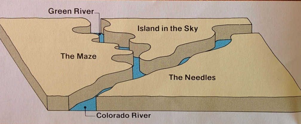
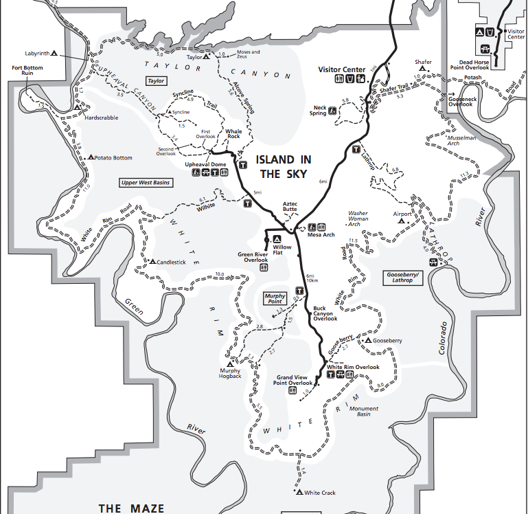
Canyonlands is the largest of the Utah National Parks and probably gets the least visitors. Its charms require some time commitment from visitors unlike Zion, Bryce, Capitol Reef and Arches where a quick half-day or a day driving through the park can be a very rewarding experience. Not so with Canyonlands. First of all its geography is complicated with 3 different zones that are not connected by road. The Green and Colorado Rivers meet in the park and the combined river (Colorado River) moves on south, its gravity aided progress impeded by dams (Glen Canyon, Hoover), forming lakes (Powell Lake, Lake Mead), through the Grand Canyon and then on to the Pacific Ocean. |
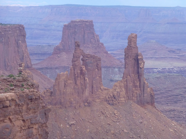
Washerwoman's Arch from Mesa Arch Overlook |
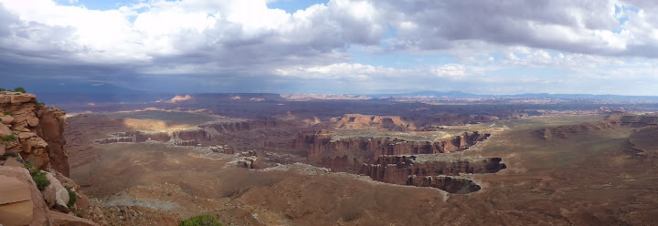
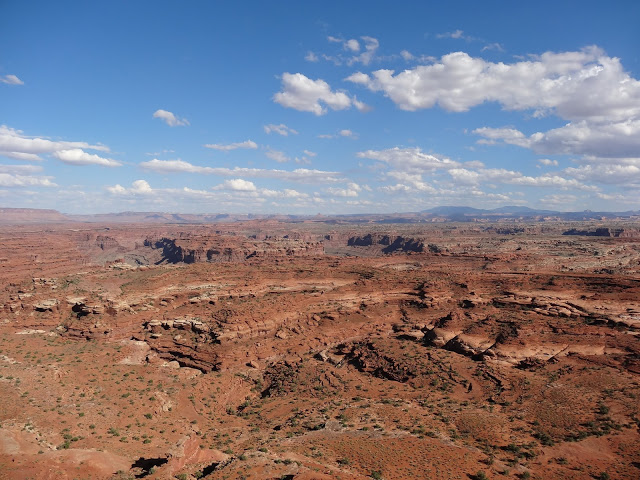
Canyonlands - Buck Canyon Overlook |
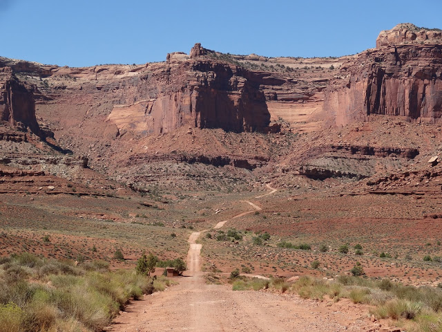
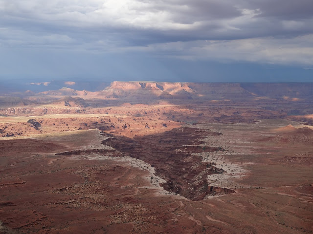
Shafer Canyon |
View of the distant Needles from White Crack |
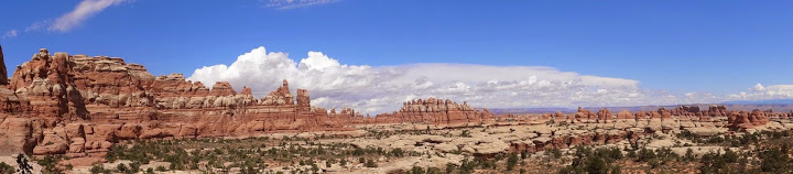
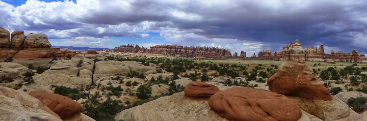
Chesler Park - Joint Trail |
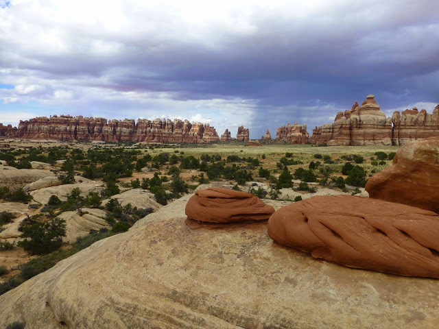
Chesler Park - Joint Trail |
 Arches National Park
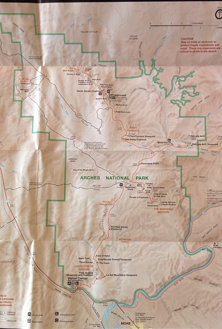
Map of Arches National Park |
Arches National Park is home to more than 2000 natural sandstone arches, as well as other rock formations (Petrified Sand Dunes, Fiery Furnace among many). Towering spires, fins, continuous walls and balanced rocks create a remarkable assortment of landforms in a small concentrated area. Across the state border is the spectacular Colorado National Monument (not visited on this trip) but with even less visitor numbers. Delicate Arch is the best known feature of the park (featured in some Utah license plates and several iconic photos of the state, default wallpaper with Windows). The longest arch is Landscape Arch , 306 feet long at one point. Fiery Furnace is a twisting maze of fin formations and canyons and requires one to go on ranger guided hikes or sign a declaration asserting expertise in navigating that kind of terrain. We could not schedule a precise visit to enable advance booking of a ranger tour. Other highlights of the park include the Courthouse Towers, the Three Gossips, Devils Garden, Parade of Elephants, Tower of Babel and Park Avenue. These are easily accessible from the road and greet the visitor within minutes of entering the park. |
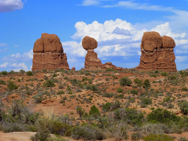
Balanced Rock |
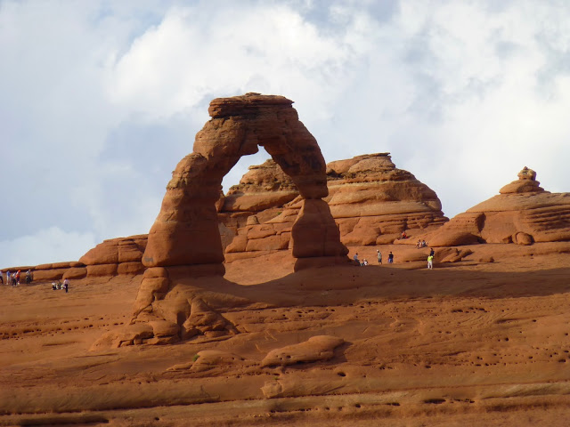
Delicate Arch |
Looking down to the Valley of the Gods |
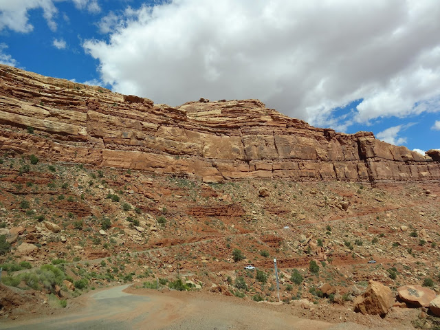
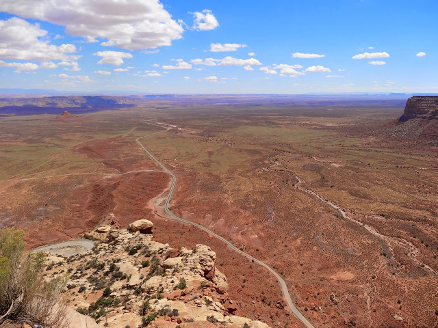
Switchbacks of the Moki Dugway |
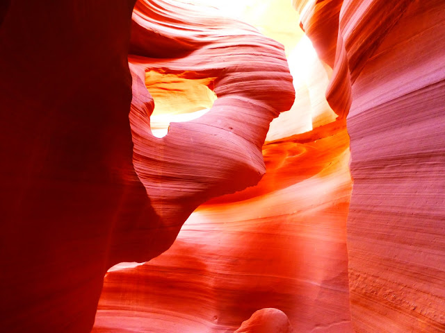
Antelope Canyon |
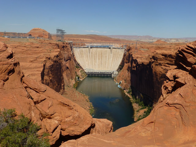
Glen Canyon Dam |
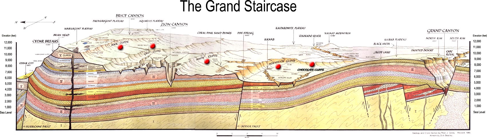
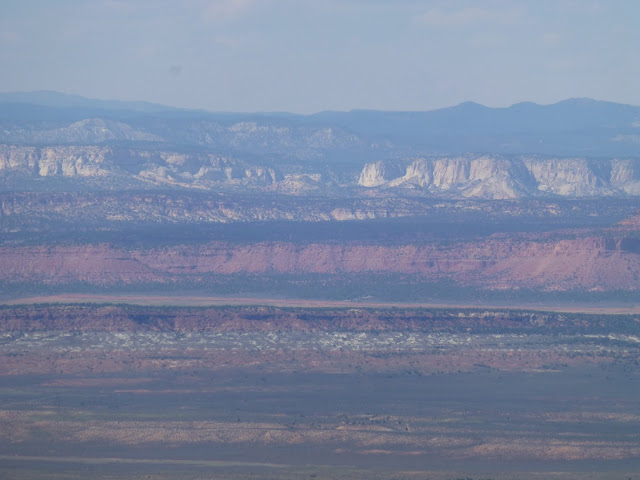
Grand Staircase-Escalante National Monument
 Grand Canyon National Park (North Rim)
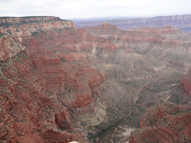
Grand Canyon North Rim - view from Cape Royal |
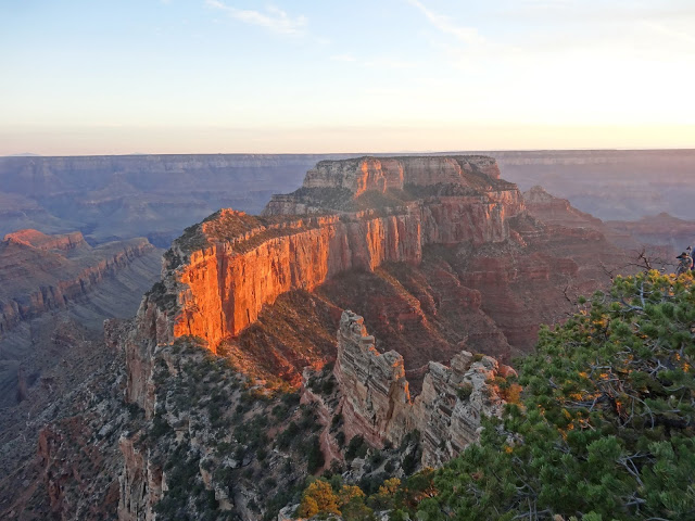
Grand Canyon North Rim - View of formation called Wotan's Throne at sunset |
|
Aug 23, 2014 Photos: 8 
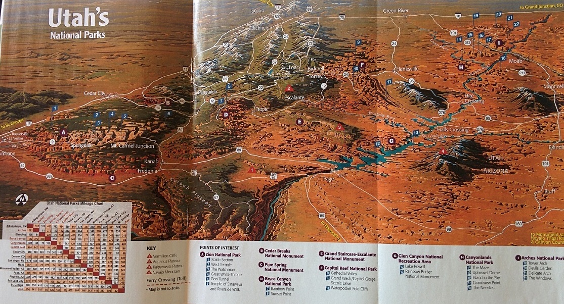
Highways Utah-5 US-191 |
Aug 23, 2014 Photos: 21 
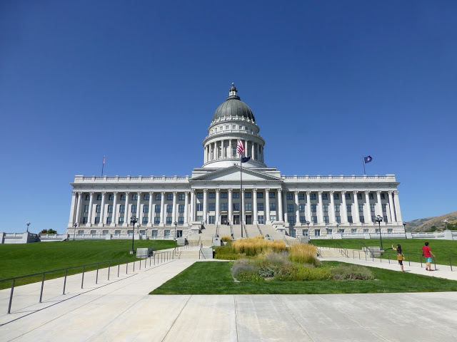
Salt Lake City |
Aug 23, 2014 Photos: 28 
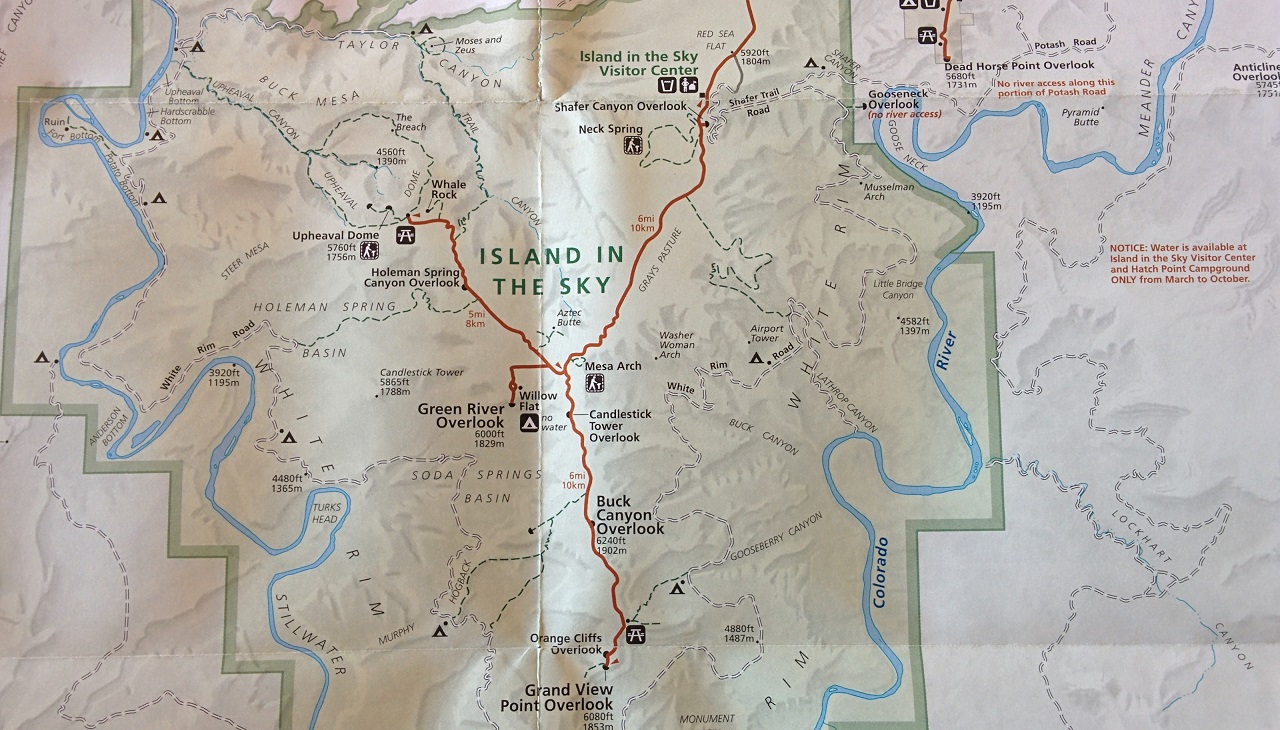
Island In The Sky |
Aug 24, 2014 Photos: 77 
White Rim Drive |
Aug 25, 2014 Photos: 106 
Arches |
Aug 27, 2014 Photos: 85 
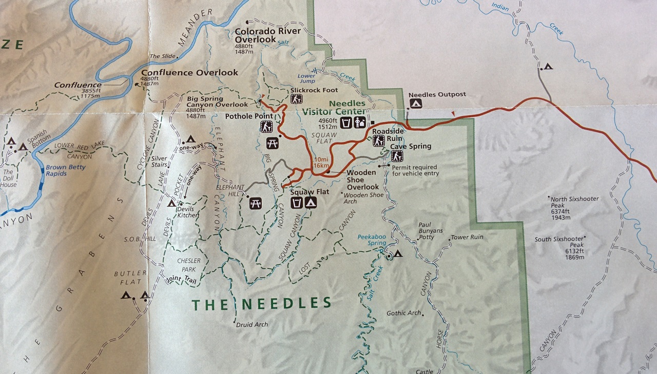
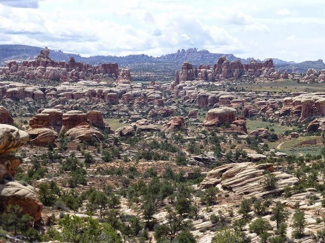
Canyonlands - Needles |
|
Aug 28, 2014 Photos: 24 
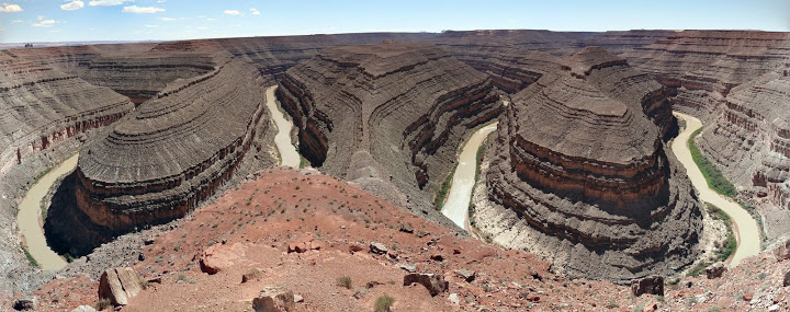
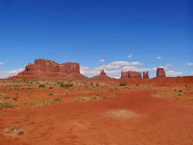
Moki, Gooseneck, Monument Valley, Page |
Aug 29, 2014 Photos: 66 
Antelope Canyon |
Aug 29, 2014 Photos: 20 
Glen Canyon Dam |
Aug 29, 2014 Photos: 17 
Grand Staircase Escalante |
JAug 29, 2014 Photos: 84 
Grand Canyon North Rim |
Aug 31, 2014 Photos: 7 
Highways Utah-12, US-89, I-15 |
Below is the link to the YouTube playlist. These are HD videos and can be viewed at 720p if you have a high speed internet connection.