Germany
Alpenstrasse Map
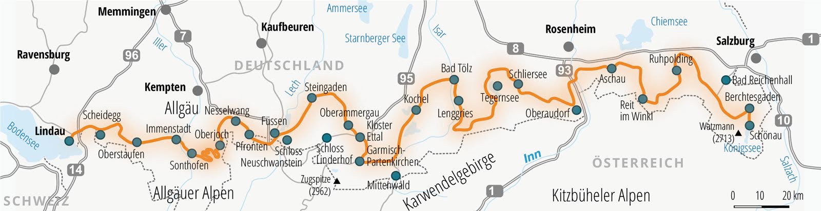
Deutsche Alpenstrasse - Schönau to Lindau
Deutsche Alpenstrase
 Upper Bavaria.
Allgau.
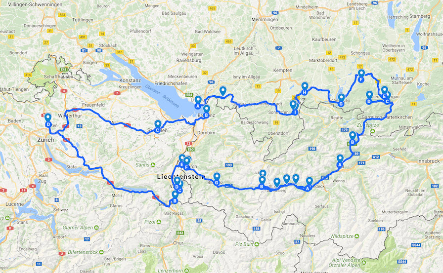
St. Gallen (Switzerland)
Upper Bavaria.
Allgau.
St. Gallen (Switzerland)
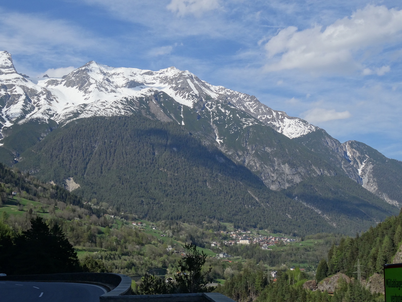
We crossed into Deutschland at Lermoos. It is essentially Lower Bavaria where the Alps bleed into Germany. At the broder, the B187 in Austria becomes B23 in Germany. Zugspitze (2962m/9718 ft) the highest point in Germany, located on the ridge right at the border was just a few km away, but the cloudy sky meant no views so we decided to skip it and hit the Alpenstrasse.
The Deutsche Alpenstrasse is the oldest touring road in Germany. It was first mentioned in 1879 - in
the publication of a historical travel log from 1858 by the Bavarian King Maximillian II (1811-1864). His journey along the route, and attractions seen, were in large part the same as today. It is the cultural equivalent of the Pacific Coast Highway in California with its associations with top-down motoring.
We would roughly follow this route for the next 2 days from Ettal, proceeding westwards to Lindau with the occasional
detours to nearby attractions. Interestingly, we connected to the Alpenstrasse through the Fern Pass which is on the centuries old salt trade route in the region when the Arlberg Pass was only a mule track and was not considered suitable.
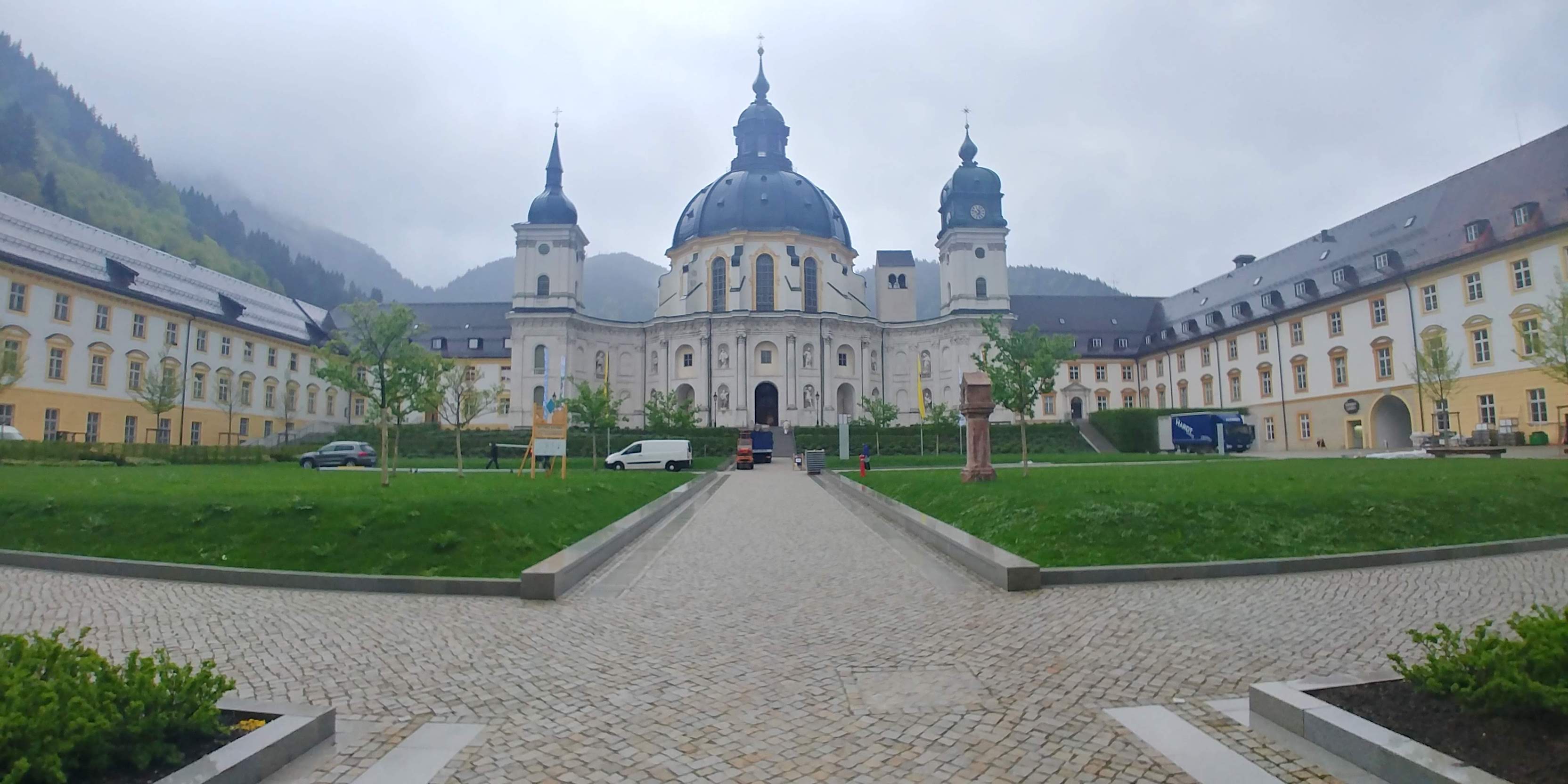
The sprawling Benedictine monastery Ettal was founded in 1330 by Emperor Ludwig the Bavarian as a redemption of a vow for his safe return to Bavaria. Lavish interior decoration and ceiling fresco which thematizes the Benedictine heaven are a testament to it place in history. In 1710 , the Ettal Monastery functioned as a Knights' Academy and was one of the most important high schools of the time.
The compact Schloss Linderhof was the first of two Ludwig II castles we would visit. The fact that it was built just for one person who also wanted to be alone as much as possible can be seen in the size of the rooms and the unique "Tischleindeckdich" food elevator by which a dishes could be laide out on the table in the kitchen and hoisted into the dining room! Intended to model an English landscape garden, the exterior is dotted with fountains, statues and flowerbeds and a pavilion.
Our next stop, Oberammergau is known for its Lüftlmalerei - frescoes of traditional Bavarian themes that adorn the exteriors of homes and public buildings. It is also famous for its woodcarvers and the 380 year tradition of Passion Plays. Further north, Wieskirche, or the Pilgrim Church of Wies (UNESCO World Heritage Site) is a masterpiece of Bavarian Rococo - exuberant, colourful and joyful.
We continued on the Alpenstrasse in Allgau towards Schwangau, the location of the two star Ludwig castles - Hohenschwangau, his boyhood home and Neuschwanstein his pet project. Ludwig II became king in 1864. Two years later he was forced to accept defeat at the hands of Prussia. No longer a sovereign ruler, he created his own alternative world, in which he could live like a king of the Middle Ages. Our encounters with the personality of Ludwig II through the two castles he built touched us deeply. We felt that he did not deserve to be termed 'mad' just because he was obsessed with building castles and outdoing all previous standards of opulence. His passion for Wagner's operas and folklore, the mystery surrounding his untimely death all added to the aura that we found irresistible.
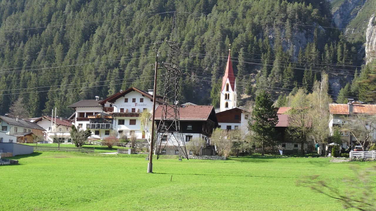
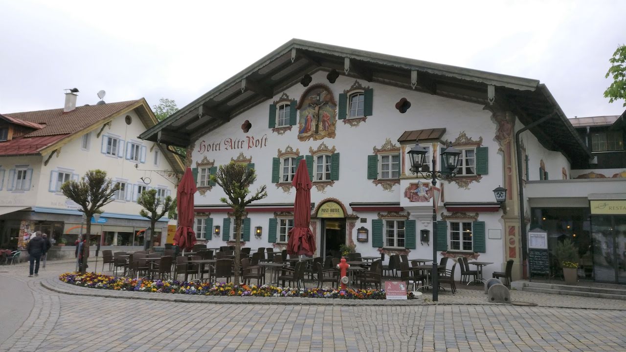
The scenic drive continued through Oberjoch,Bad Oberdorf/Bad Hindelang, Immenstadt to Lindau, an old town jutting into Lake Constance. The Alte Stadt with its pretty pedestrian zone was an excellent place to strech ones legs after a long drive. Back into Switzerland (via Bregenz in Austria), our last stop was St. Gallen Abbey, another UNESCO World Heritage Site, the signs for which we fortuituously noticed on the freeway and gleefully took the exit.
Towns: Garmisch, Kloster Ettal, Schloss Linderhof, Oberammergau, Steingaden, Schloss Neuschwanstein, Nesselwang,
Oberjoch, Immenstadt, Lindau
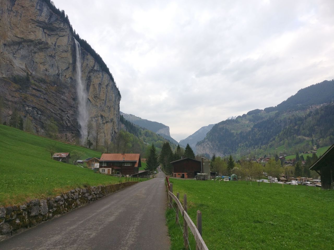 Lauterbrunnen
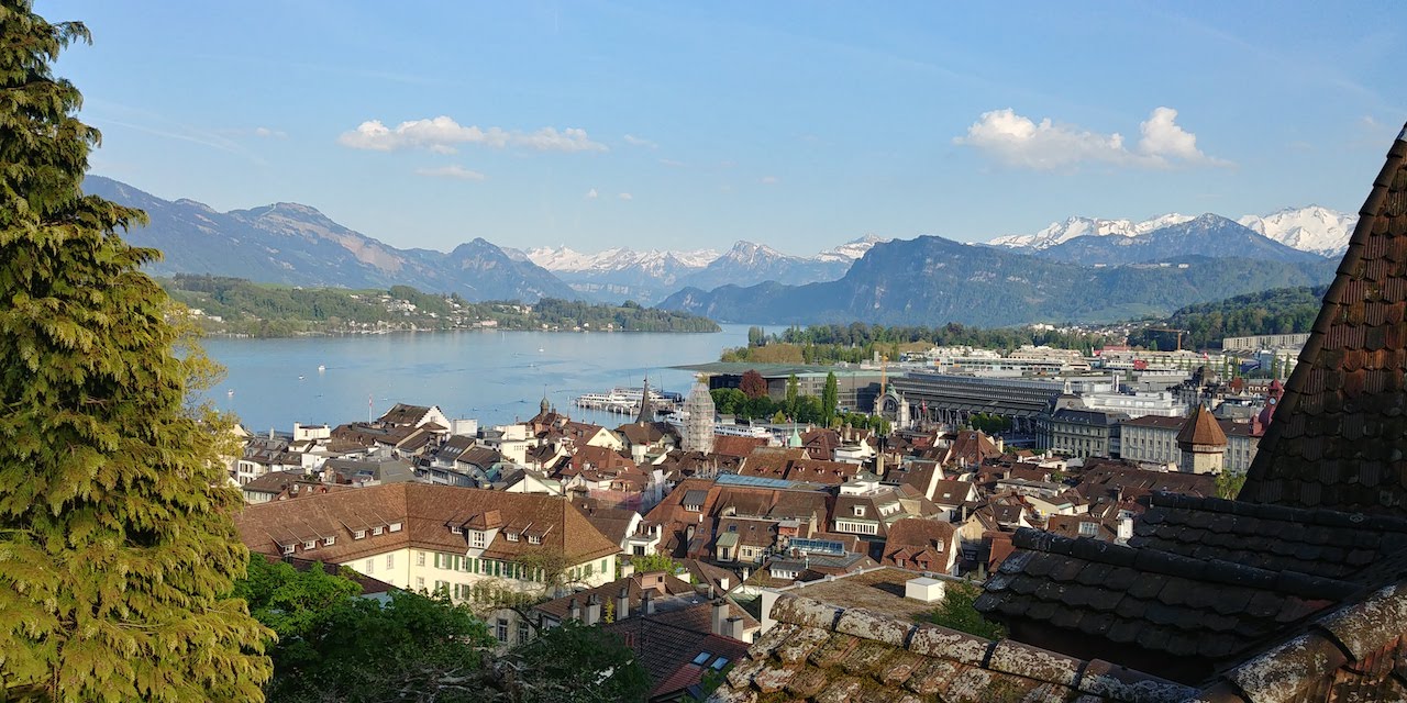 Lucerne
 Mt. View Trail
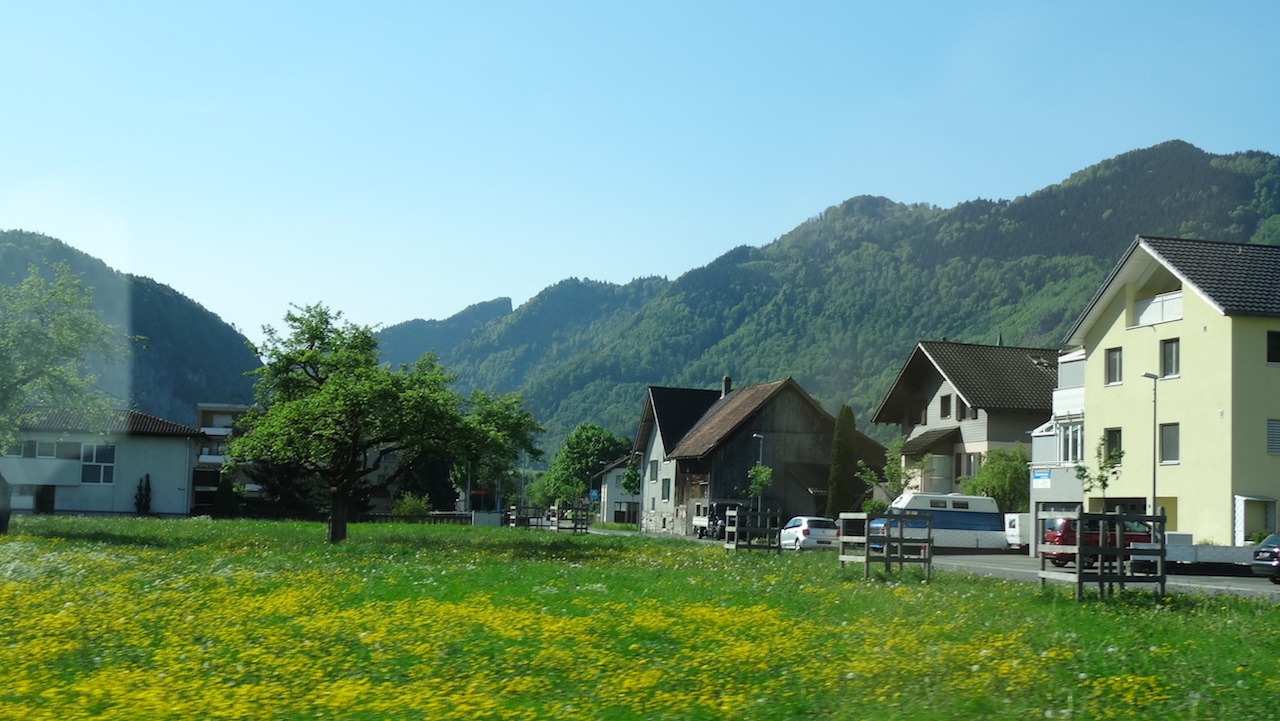 Balzers
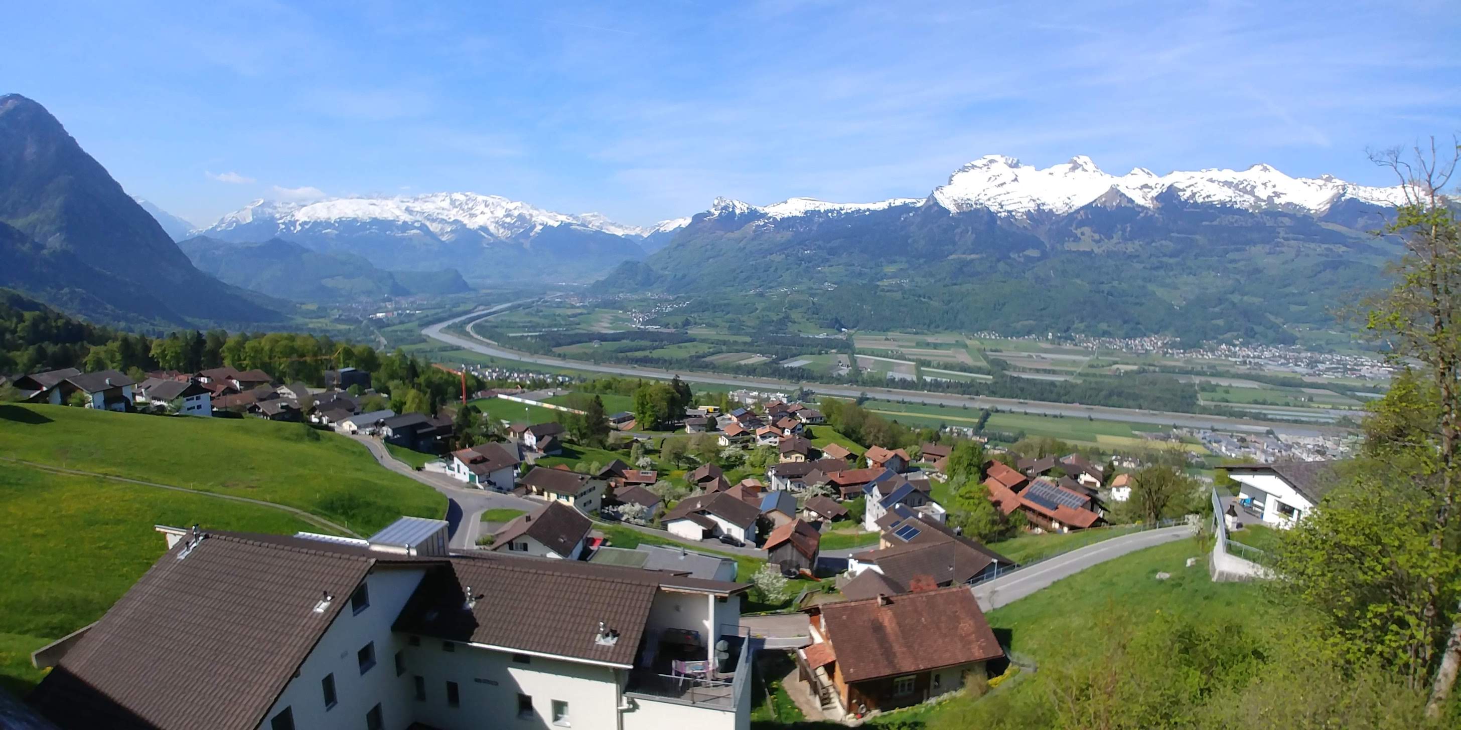 Triesenberg - Rhine overlook
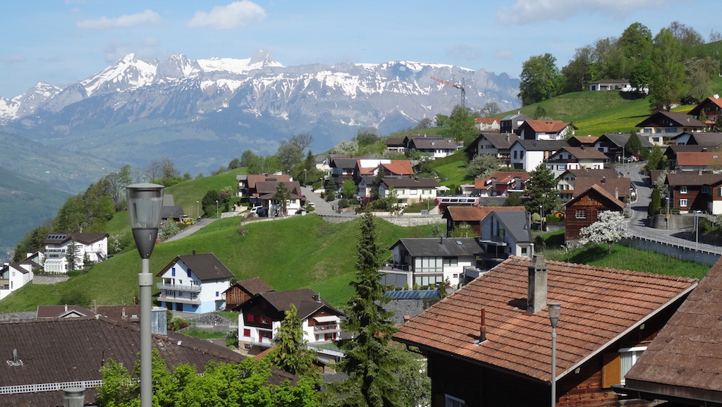 Triesenberg
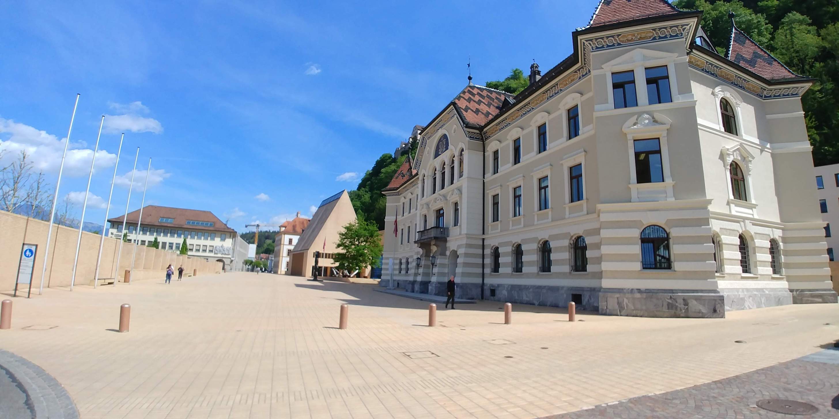 Vaduz
Vaduz
 Mountains above Arlberg
 Pettneu am Arlberg
 Stuben
 Ettal Abbey
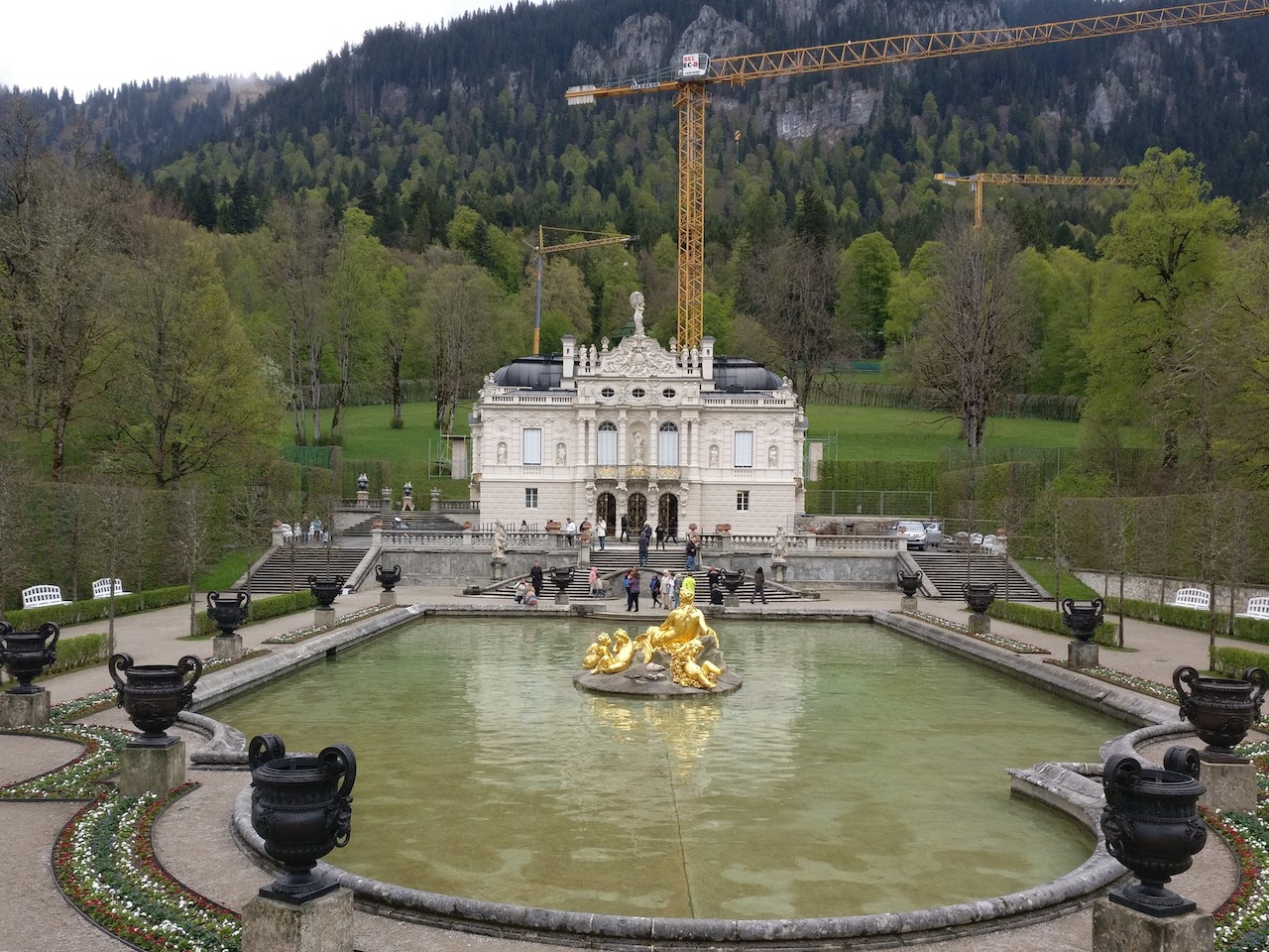 Linderhof Castle
 Obrammergau mural
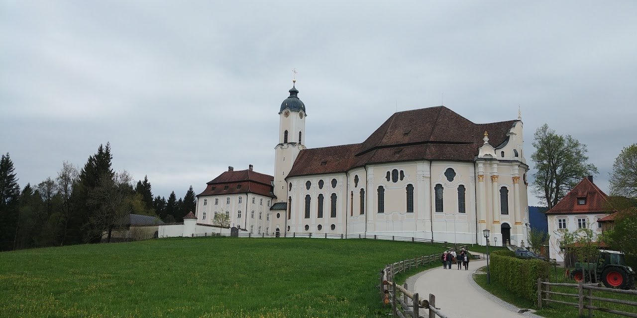 Wieskirche
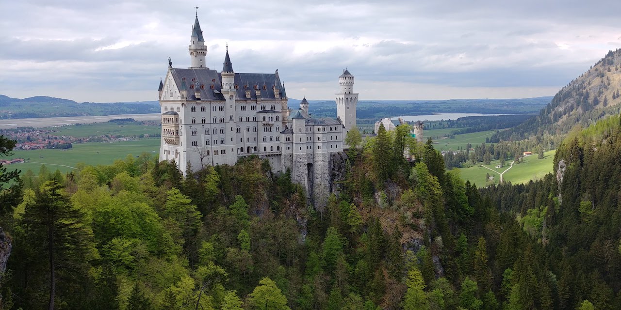 Neuschwanstein Castle
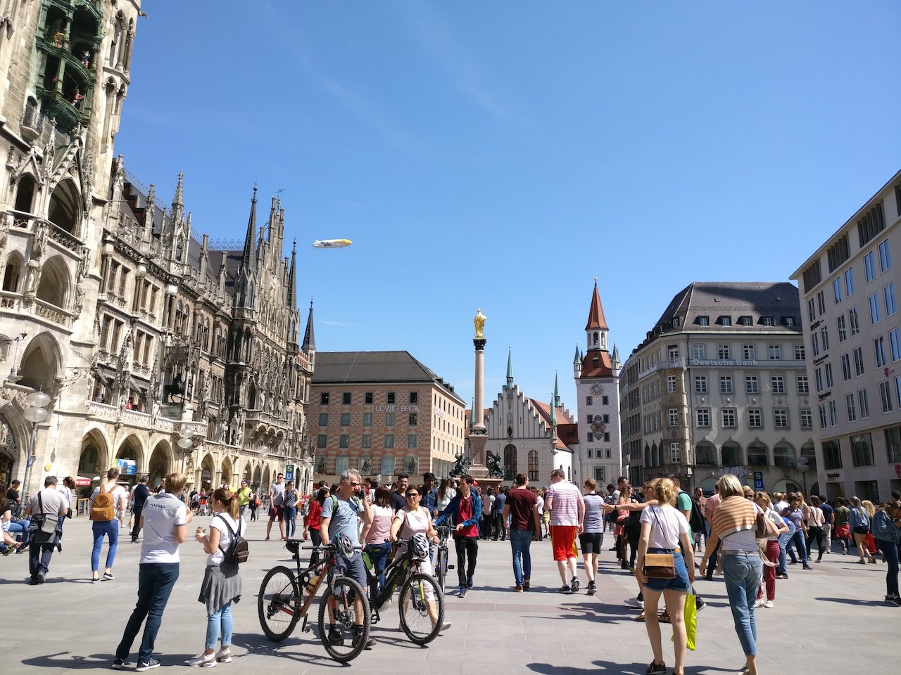 Marienpaltz
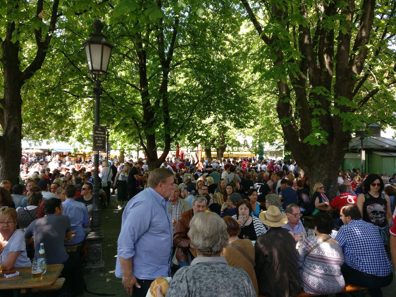 Viktualienmarkt beer garden
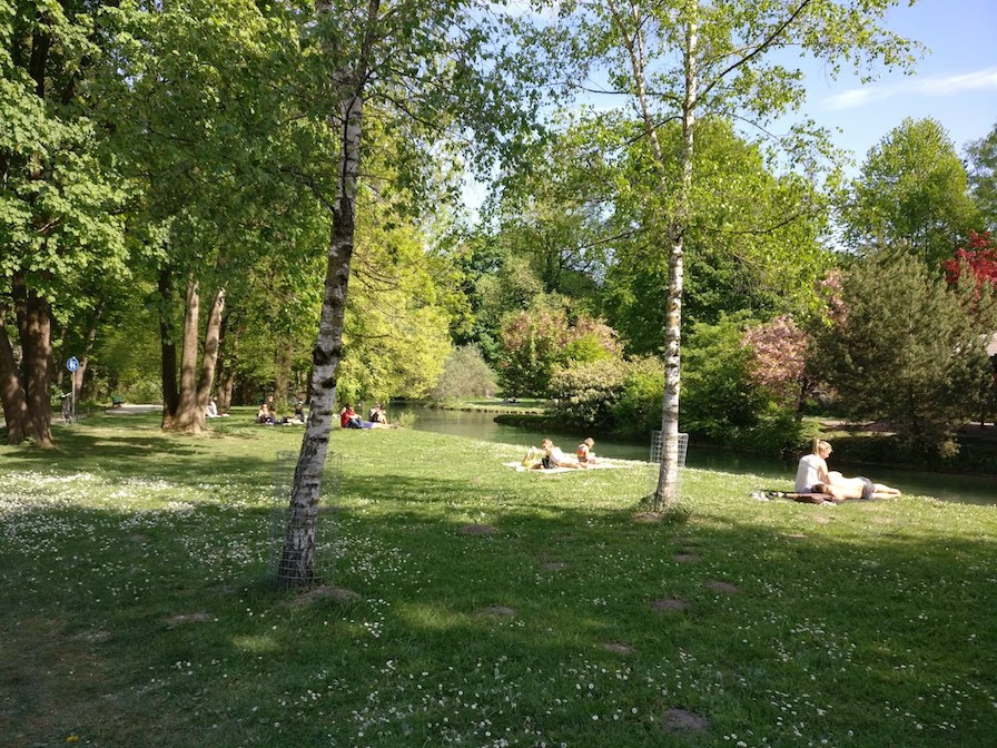 English Garden