Mississippi Headwaters
If you have read this far (without skipping!), you would have caught the bug about the Mississippi river. And you probably suspected that this river lies at the bottom of all the mysteries that we have hinted at while meandering our way through boundary waters. It is time to get to the source of the river. Unlike its close cousin, the Missouri, the Missisispi does not originate high up in the mountains, but from a very benign source, Lake Itasca. The determination of this location as its source is fairly technical. Tracing the river is quite a tricky task as you go from lake to lake connected by the winding stream. If you attempt it yourself using an online interactive map, you could easily take an alternative route as there are many streams that empty into these lakes.
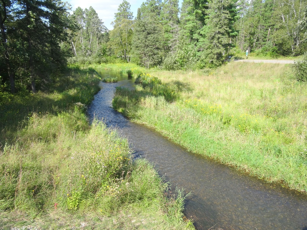
The river initially flows north from Lake Itasca as a relatively modest creek, passing through several lakes including Lake Bemidji and Lake Winnibigoshish before bending back down south near Grand Rapids. Amazingly enough the elevation at source is only 1475 feet and that’s all it loses on its 2320 mile journey to the Gulf of Mexico. If you enjoyed the Highway 61 Google traversal adventure, you can attempt a similar one with the river, at least on its lake hopping journey till Grand Rapids.
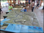
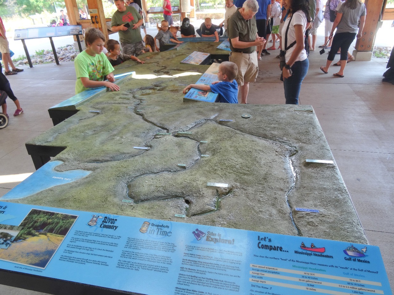
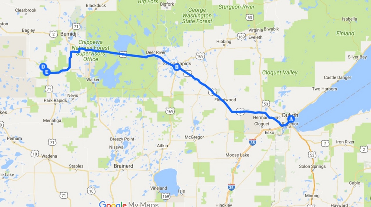
3 hours of driving (with a brief stop at Grand Rapids for lunch) took us from Duluth to Lake Itasca State Park. We were quite impressed with the Visitor Center filled with exhibits that would have done any National Park proud. We would rank this one over some of the National Parks’ Visitor Centers. A 3-D miniature model of the river’s entire length was particularly impressive. You could pour a small amount of water at the headwaters and watch it flow down the groove to the destination. You could see huge puddles near the display caused by young citizens stricken with unquenchable curiosity.
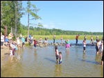
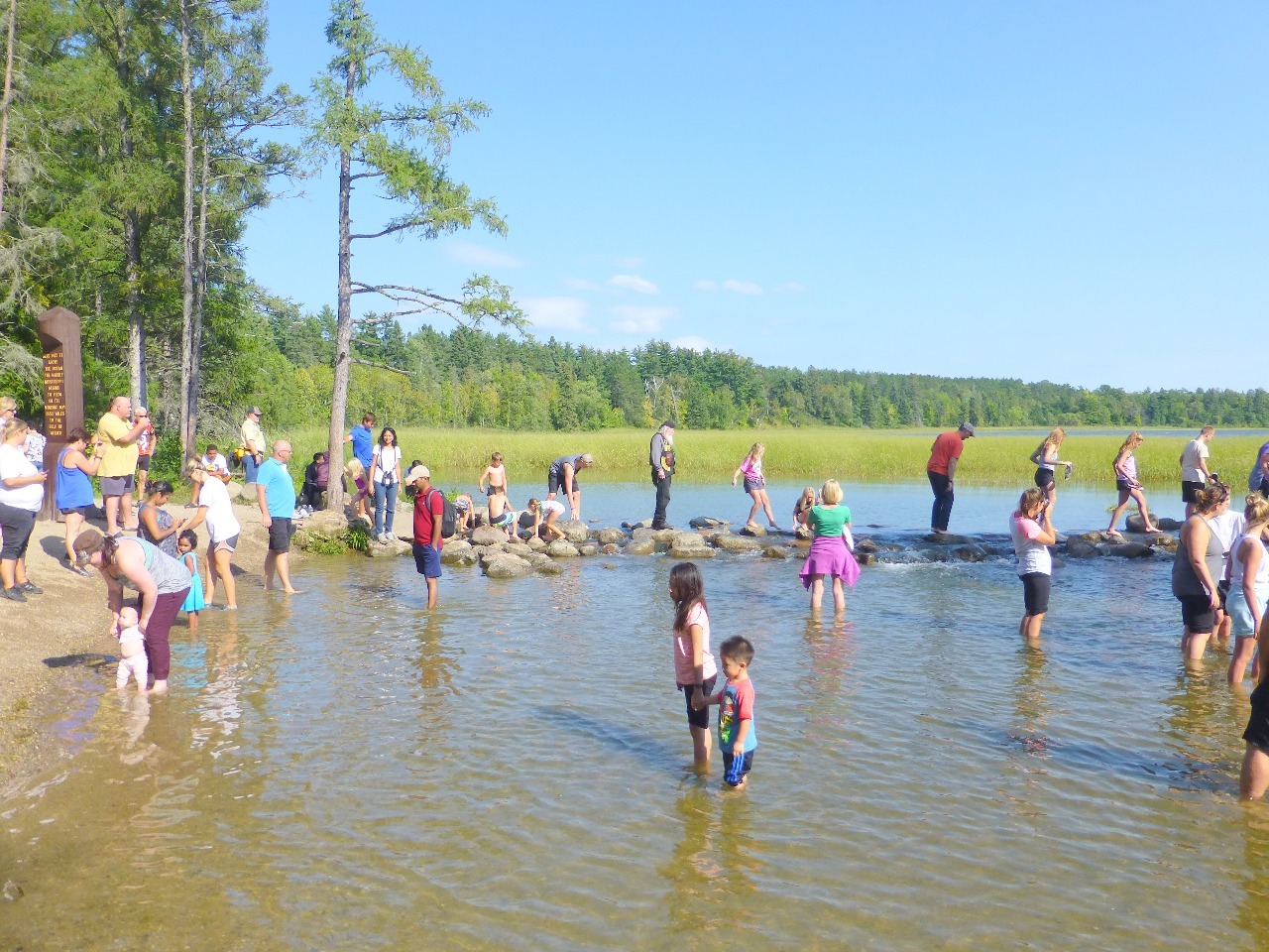
The source of the Mississippi river is a 44-foot long outlet dam at the north end of Lake Itasca. As expected, the area thronged with long weekend revelers who were getting a kick out of walking (barefoot) across the outlet dam. Those wishing to keep their shoes on could cross a log bridge just a few feet downstream. We are not too proud or snobbish to thwart our own inner wish to indulge in this bit of cheesiness, a little of which never hurt anyone.
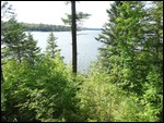
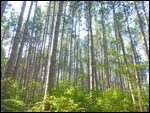
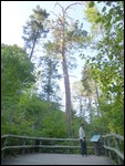
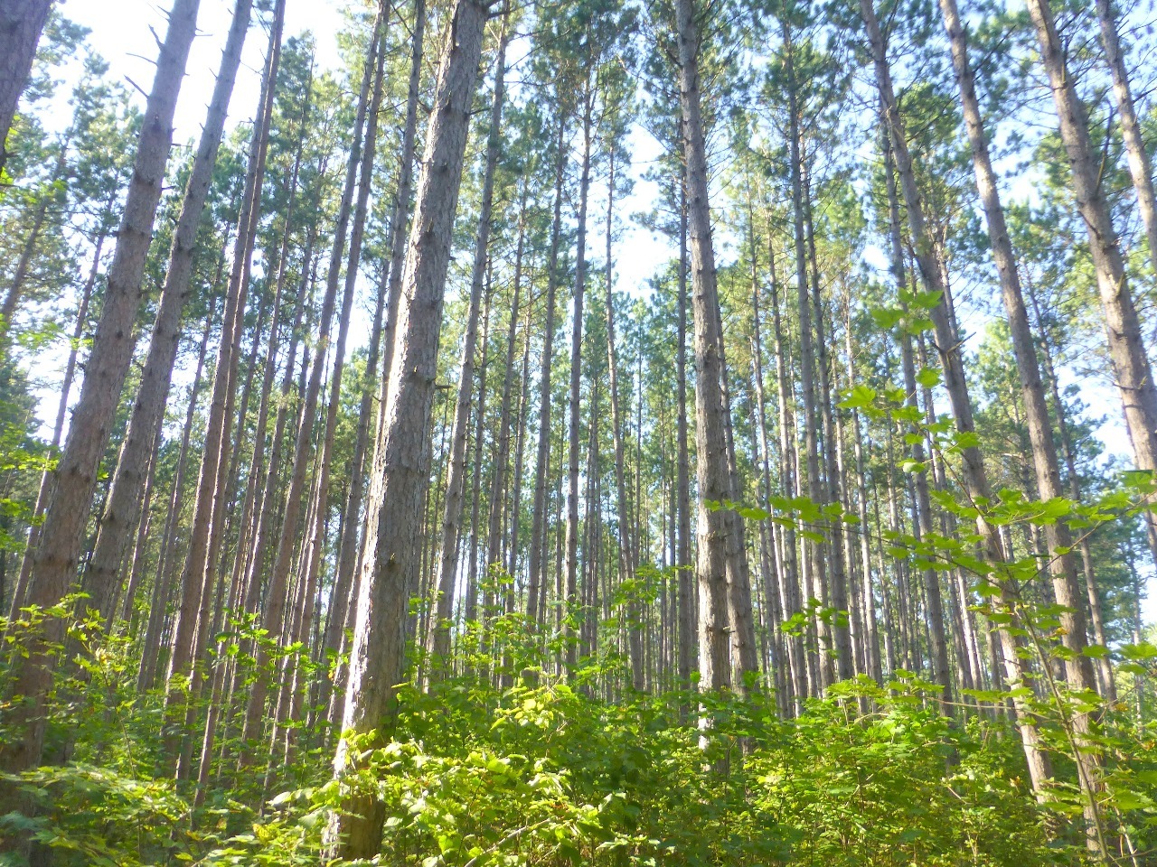
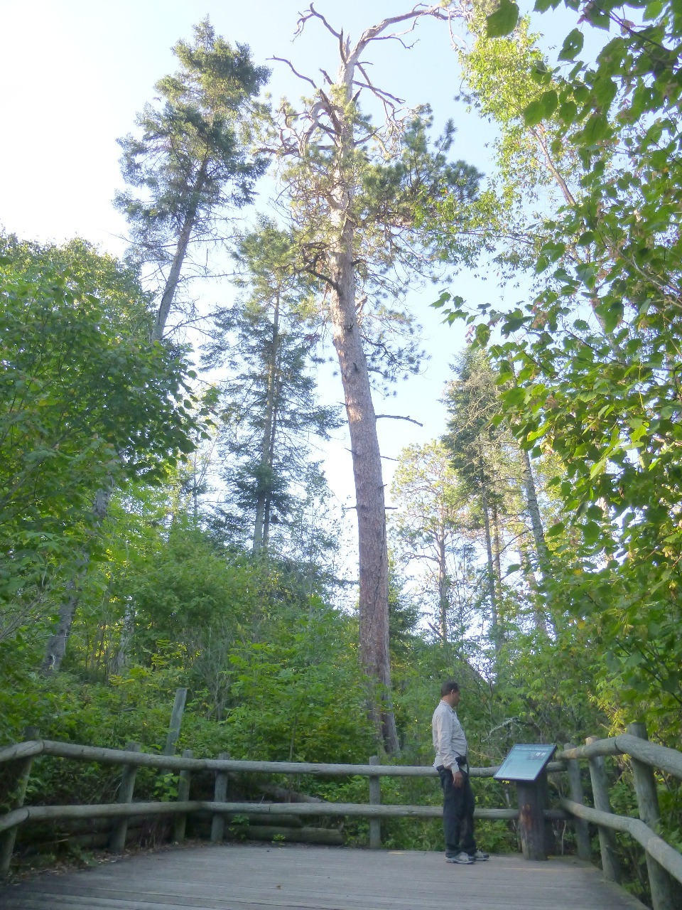
The park also offers several interpretive and hiking trails. We enjoyed large groves of white spruce trees that were tall and slender that they moved gently with the wind. It was quite an experience to feel the whole forest sway back and forth like one giant creature.
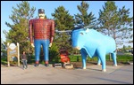
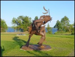
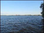
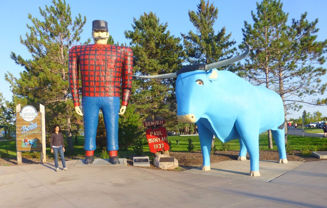
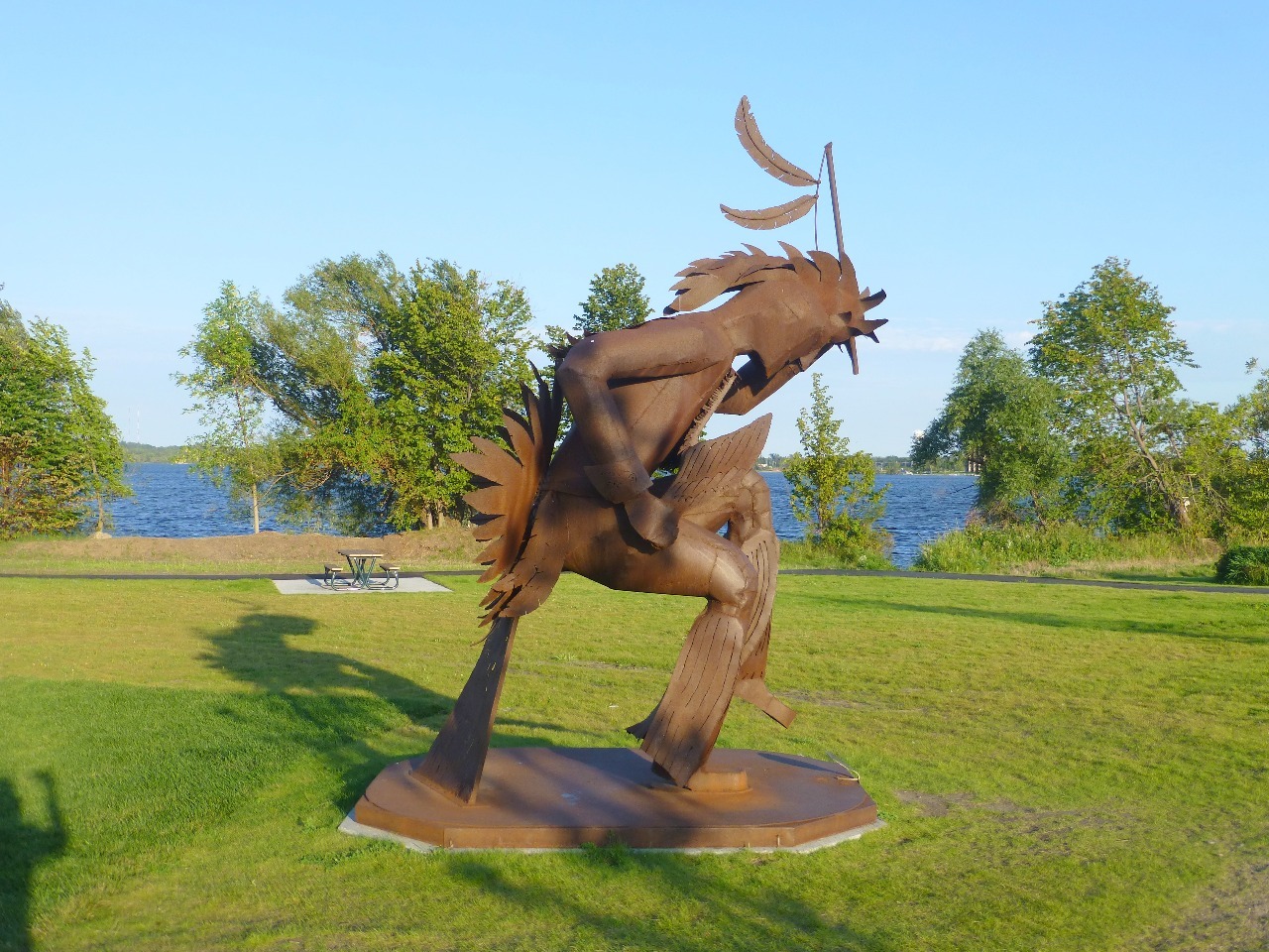
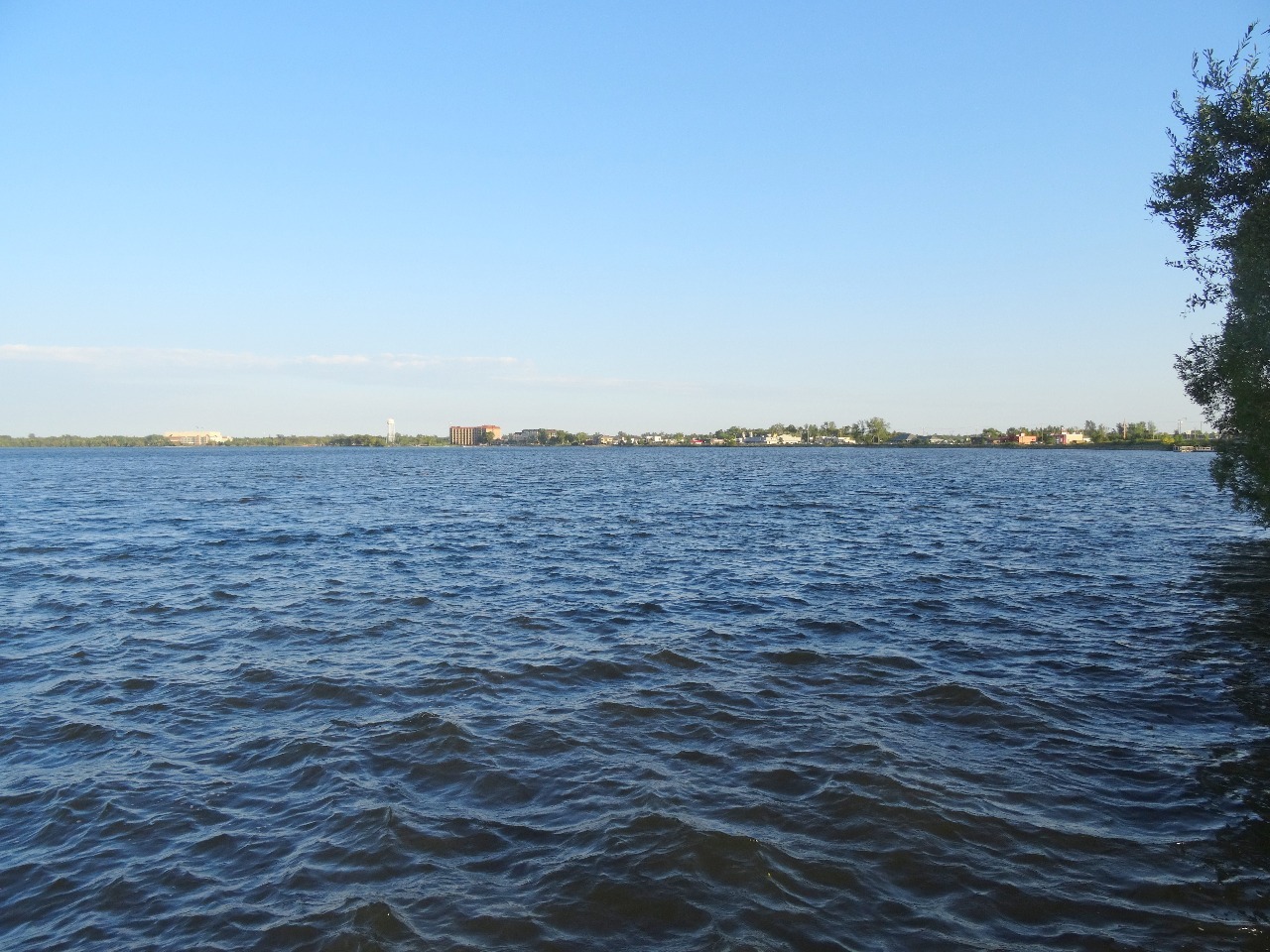
We still had a couple of hours of daylight and we spent a few minutes at the delightful park on the shores of Lake Bemidji. This is one of the lakes through which the Mississippi flows (not visible to the naked eye). The park is also one of the sites with a giant statue of Paul Bunyan and Bebe the Blue Ox - both folk lore characters relating to the oral tradition of American loggers. Viewers of the Oscar-winning Coen Brothers film, Fargo, would recall how the giant statue of Paul Bunyan (which was created for the film) looms frighteningly large over the city of Brainerd in the film.
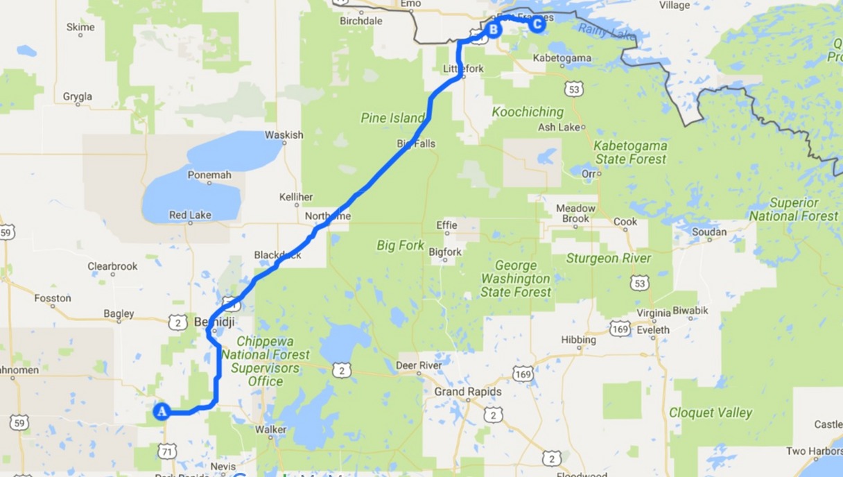
Another long 2 hour stretch brought us back to where we had started on Thursday afternoon. International Falls. Sunday morning beckoned after a night’s sleep and another appointment with yet another national park. Having learned all that we had so far (a little bit too much?) about the boundary waters, voyageurs, Mississippi headwaters etc. did we have a clue as to the conclusion of this tale? Time to rest up and begin the game anew come the morning.
Photo Album


Comments